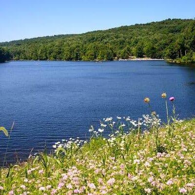
🏆🏆🏆🏆🏆 Maryland — Western Maryland’s newest park in the Allegheny Highlands — rugged terrain with access to the Big Savage Mountain ridgeline at 3,000+ feet. Named for John Savage, an 18th-century surveyor, the area offers Appalachian wilderness close to the Mason-Dixon line.
Visitor Information
| Detail | Info |
|---|---|
| Location | Maryland |
About Savage Highlands
Savage Highlands State Park in Garrett County provides recreation in Maryland’s westernmost county — the only Maryland county entirely within the Appalachian Plateau. At elevations above 2,500 feet, Garrett County has a climate more like West Virginia than Baltimore. The county receives over 100 inches of snow annually, hosts Maryland’s only ski resort (Wisp), and contains remnant spruce-hemlock forests that would be more at home in Canada.
Things to Do
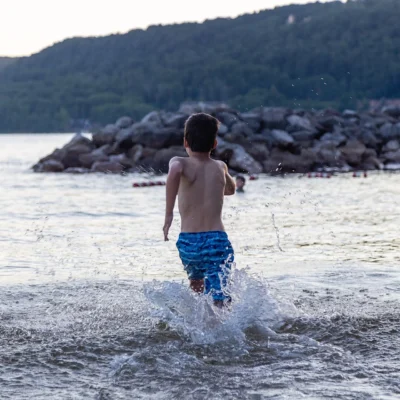
Hiking, mountain biking, wildlife watching, cross-country skiing in winter, snowshoeing, and exploring Maryland’s mountain wilderness in the state’s snowiest and most remote county.
History & Ecology
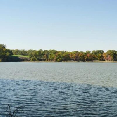
Garrett County is Maryland’s ski and snowboard destination — Wisp Resort receives the state’s heaviest snowfall. The county’s 2,500+ foot elevation creates a climate zone more like northern Pennsylvania. Cranesville Swamp (nearby) is a remnant Ice Age bog with tamarack and sphagnum moss — more typical of Maine than Maryland. Deep Creek Lake, the state’s largest freshwater lake, provides year-round recreation.
Plan Your Visit
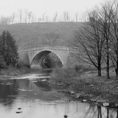
Savage Highlands provides trail-based recreation in Garrett County — Maryland’s outdoor recreation capital. Deep Creek Lake Resort (nearby) offers lodging, dining, and watersports. Wisp Resort has downhill skiing in winter. Swallow Falls State Park (10 miles) has Maryland’s highest waterfall (Muddy Creek Falls, 53 feet). The Western Maryland Scenic Railroad runs from Cumberland to Frostburg. Elevation above 2,500 feet means cool summers and cold, snowy winters.
Insider Tips
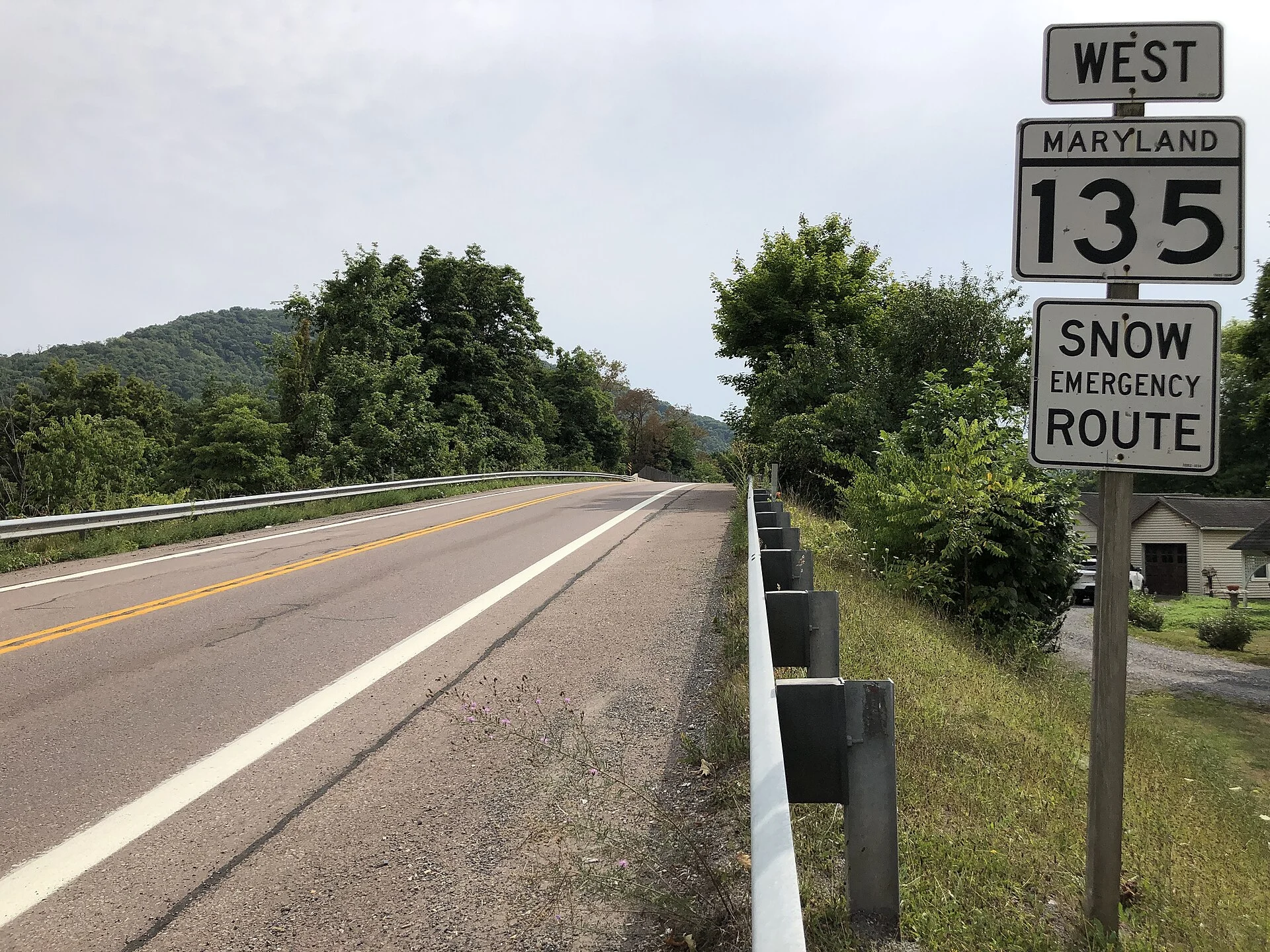
Western Maryland mountains: Savage Highlands sits in the Allegheny Mountains — Maryland’s wild western panhandle. Pro tip: Western Maryland feels like a different state — Appalachian culture, coal mining heritage, and mountain forests replace the Chesapeake Bay lowlands. Continental Divide: The Eastern Continental Divide crosses western Maryland — rain falling west flows to the Gulf of Mexico; east flows to the Atlantic.
Best Time to Visit
Fall: Mountain foliage. Summer: Cool mountain escape from DC heat. Spring: Wildflowers. Winter: Cross-country skiing — Maryland’s snowiest area.
Frequently Asked Questions
Where is the Continental Divide in Maryland?
The Eastern Continental Divide crosses Garrett County in western Maryland at approximately 3,000 feet elevation. West of the divide, water flows via the Youghiogheny River to the Ohio, Mississippi, and Gulf of Mexico. East of the divide, water flows to the Chesapeake Bay and Atlantic Ocean. The divide is marked at several locations — including on the historic National Road (US 40), America’s first federally funded highway.
Make it a road trip: Pair a visit with Big Run State Park (a short drive away) or Savage River State Forest (a short drive away).