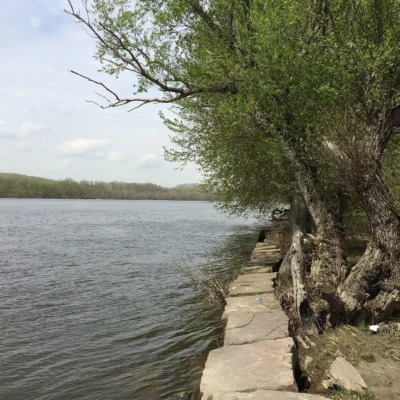
Photo: Annette M Gordon, CC BY-SA 3.0, via Wikimedia Commons
Parking & Access: Simsbury Wildlife Management Area
Lots off Route 10 and Ferry Lane. No parking at the end of Eno Place.
Hunting on this area
| Deer | Archery only |
|---|---|
| Turkey | Spring and fall: archery, firearms |
| Small game | Open |
| Waterfowl | Open |
| Pheasants stocked | Yes |
Zones within 500-foot boundaries marked on the DEEP map are closed to firearms hunting.
Pheasants are stocked only in the northern parcel, reached from Ferry Lane.
Fluorescent orange is required for most hunting, and CT DEEP recommends an orange vest or hat for every visitor to state land during the hunting season. No Sunday hunting on state and public lands.
Sources: CT DEEP Wildlife Division hunting and access data, DEEP hunting area map (PDF, September 2025), 2026 Connecticut Hunting and Trapping Guide (season dates), CT DEEP fall 2026 season notice (verified October 2026). Rules and seasons change — confirm before you go.
🌤 Weather at Simsbury Wildlife Management Area by season
| Spring | Summer | Fall | Winter |
|---|---|---|---|
| 28–72 °F | 58–85 °F | 33–76 °F | 19–41 °F |
Each range runs from the coldest monthly average low to the warmest monthly average high in that season (1991-2020 climate normals), measured at Hartford Bradley International Airport, 6 mi away, elevation 190 ft. Conditions at the park can differ from the station, especially where elevation differs — check a forecast before you go.

Simsbury Wildlife Management Area is a 317-acre state wildlife management area on the Farmington River in Simsbury, Hartford County, managed by the Connecticut Department of Energy and Environmental Protection (DEEP).
Visitor Information
| Detail | Information |
|---|---|
| Location | 29 Ferry Lane, Simsbury, CT 06070 (DEEP hunting area map, U.S. Census) |
| Size | 317 acres (DEEP hunting area map, as of October 2026) |
| Type | State wildlife management area (DEEP) |
| Entry Fee | No entrance fee is listed by DEEP (as of October 2026) |
| Hours | Half an hour before sunrise to half an hour after sunset; hunting and fishing are allowed outside these hours (RCSA § 26-16-3a) |
| Hunting | State hunting area (DEEP, as of October 2026) |
Frequently Asked Questions
Is hunting allowed at Simsbury WMA?
Yes. DEEP’s hunting-area data (as of October 2026) list Simsbury WMA as a state hunting area. It is open for small game, stocked pheasant, waterfowl, spring and fall turkey (archery and firearms), and archery deer hunting, but closed to firearms deer hunting. Pheasants are stocked only in the northern parcel, reached from Ferry Lane. Check the DEEP hunting area map and the current Connecticut Hunting and Trapping Guide for season dates before you go.
Where do I park for Simsbury WMA?
Lots off Route 10 and Ferry Lane. No parking at the end of Eno Place. (DEEP hunting area map, as of October 2026)
When can I visit Simsbury WMA?
Connecticut’s rules for state wildlife management areas close them from half an hour after sunset until half an hour before sunrise, except for hunting, fishing and other activities DEEP authorizes (RCSA § 26-16-3a, as of October 2026).
Can I bring my dog?
Yes, on a leash no longer than 7 feet that you hold at all times, and under control. Dogs that are hunting or being trained for hunting are exempt from the leash rule, and DEEP can close an area to dogs by posting signs (RCSA § 26-16-3a, as of October 2026).
About Simsbury WMA
DEEP’s mapped property boundary lies in Simsbury. DEEP’s hunting area map describes it as floodplain upland, agricultural fields, open marsh and some woods.
DEEP’s hydrography data show Farmington River, King Phillip Brook, Owens Brook, Enos Pond No 2, and Enos Pond No 3 on or along the property. The 2021 National Land Cover Database (NLCD) maps the area as 29 percent forest, 41 percent wetland, 1 percent open water, and 24 percent pasture and cropland.
Things to Do
Hunters can use the area for small game, stocked pheasant, waterfowl, spring and fall turkey (archery and firearms), and archery deer hunting under DEEP’s rules for this area. DEEP trail data show about 0.7 miles of the Farmington Canal Trail inside the boundary.
Rules on the Property
Connecticut’s regulation for state wildlife management areas (RCSA § 26-16-3a, as of October 2026) sets the ground rules here: no motor vehicles, no camping, horses only where not posted against them, bicycles not on posted trails, roads or areas, target shooting only where DEEP designates it, and dogs on a leash of no more than 7 feet unless they are hunting or in hunting training.
Nearby Attractions
Penwood State Park, an 801-acre state park, is less than a mile southeast. Talcott Mountain State Park, a 552-acre state park, is less than a mile south. Stratton Brook State Park, a 189-acre state park, is about 1 mile southwest. Newgate Wildlife Management Area, a 425-acre wildlife management area, is about 4 miles north. Distances are straight-line between the DEEP property boundaries; acreages are DEEP figures.
🦆 Visit Simsbury WMA
317 acres in Simsbury. Open from half an hour before sunrise to half an hour after sunset.
🐾 Dogs & Pets at Simsbury Wildlife Management Area
Park policy: This is a state wildlife management area, not a state park, so Connecticut's state park pet rules do not apply here. Connecticut's rules for state wildlife management areas (RCSA § 26-16-3a) require dogs to be on a leash no longer than 7 feet, held at all times by the person responsible, and under control (as of October 2026).
- Pets allowed?
- Yes, on a leash no longer than 7 feet that the person responsible holds at all times
- Park-specific rules
- Dogs that are hunting or being trained for hunting are exempt from the leash rule. DEEP can close any area or time period to all dogs by posting signs.
Are dogs allowed at Simsbury Wildlife Management Area?
Yes, on a leash no longer than 7 feet that the person responsible holds at all times.
More: Connecticut state parks guide · Dog rules in all 50 states compared
Park Map
Plan your gear for Simsbury Wildlife Management Area
From our editorial guides, matched to this park’s activities:
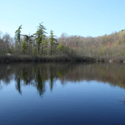
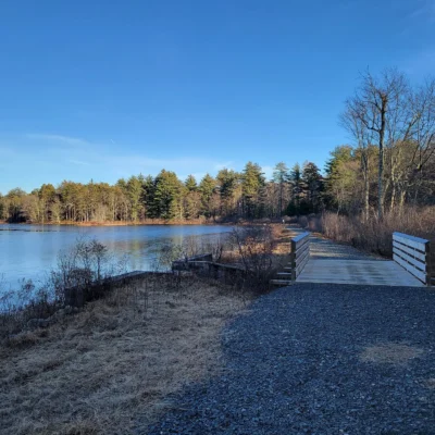
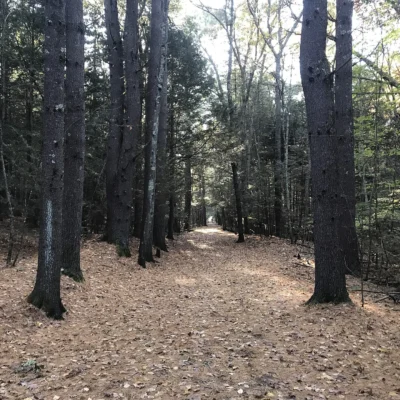
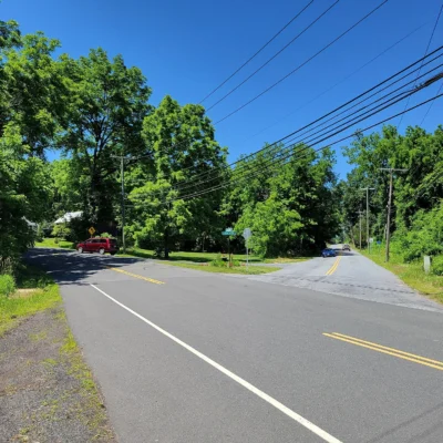
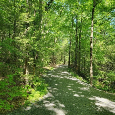
Photos of nearby places: authors and licences are listed on our photo credits pages.
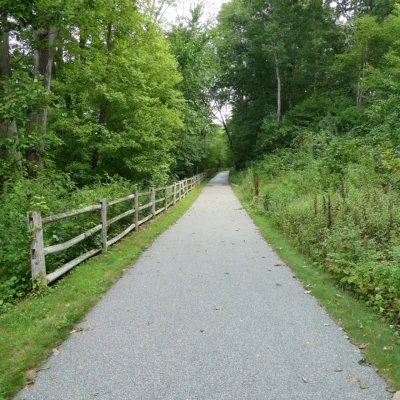

Park photos: authors and licences are listed on our Connecticut photo credits page.