Mongold Day-Use Area
🏆 Detroit Lake Beach — Popular day-use area on Detroit Lake in the Cascade Range Mongold Day-Use Area provides beach
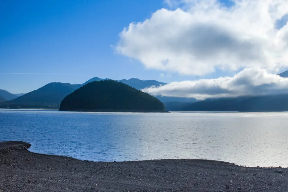
🏆 Detroit Lake Beach — Popular day-use area on Detroit Lake in the Cascade Range Mongold Day-Use Area provides beach

🏆 Central Coast Viewpoint — Elevated coastal viewpoint with sweeping ocean panoramas near Yachats Muriel O. Ponsler Memorial State Scenic

🏆 Oregon’s Longest Rail Trail — 100-mile converted rail trail from Klamath Falls to Bly through Southern Oregon’s high desert

🏆 Hidden Coast Gem — Charming beach village with sea stacks, tide pools, and Three Arch Rocks seabird refuge Oceanside

🔭 Prineville Overlook — A plateau viewpoint on Highway 126 just west of Prineville, looking over the town and the

🏆 Cape Foulweather Lookout — Iconic 500-foot cliff viewpoint at Cape Foulweather — named by Captain Cook in 1778 Otter
🏆 Pete French Round Barn State Heritage Site — The last surviving 1880s round barn from Peter French’s legendary Oregon

🏆 Oregon’s Deepest Gorge — Viewpoint above the Crooked River Gorge — a 300-foot volcanic canyon with a historic 1926

🏆 THE Columbia Gorge Photo Spot — The most famous viewpoint of the Columbia River Gorge — Crown Point and
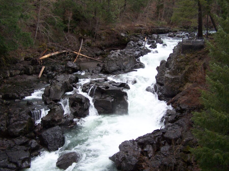
🏆 Rogue River Cascades — Viewpoint above the upper Rogue River near Crater Lake Prospect State Scenic Viewpoint provides views

🌲 Red Bridge — A forested wayside on the Grande Ronde River along Oregon Highway 244 near La Grande, with

🏆 Lincoln City Beach — North end beach access at Lincoln City with tide pools and sunset views Roads End

🏆 Central Coast Bridge — Historic Ben Jones Bridge viewpoint on the Central Oregon Coast Rocky Creek State Scenic Viewpoint

🍁 Sarah Helmick — Oregon’s first state park (1922), a small shady picnic park on the Luckiamute River south of

⛰️ Columbia Gorge Natural Area — About 429 acres around Mitchell Point in the Columbia River Gorge, Hood River County,

🏆 Columbia Gorge Waterfall — Delicate 70-foot bridal veil waterfall in a fern-draped grotto along the Historic Columbia River Highway

🏆 Sand Lake Estuary — Tidal flats, salt marsh, forested dunes and a snowy plover nesting area on the Sand

🏆 Yachats Tidepool Paradise — Rocky shore tide pool access at Yachats — Oregon’s “Gem of the Oregon Coast” Smelt

🏆 Sumpter Valley Dredge State Heritage Area — Home to a massive 1935 Yuba-style gold dredge — the last of

🏆 Oregon’s Only Operating Mill — 1862 water-powered flour mill still operating with original equipment — Oregon’s only remaining pioneer

🌊 Tokatee Klootchman State Natural Site — A small ocean viewpoint a few feet above the water in Lane County,

🛣️ Tub Springs Wayside — A roadside stop on State Highway 66 (Green Springs Highway) in Jackson County; OPRD does
🥾 Vinzenz Lausmann Memorial — Seven Streams Staging Area, 5 miles west of Hood River, is the gateway to the

🎣 W. B. Nelson State Recreation Site — A small freshwater lake with a fishing dock beside the Alsea River

🏆 Wallowa River Access — Day-use stop in the Wallowa River canyon, part of an Oregon state scenic corridor Wallowa

🏆 World’s Whale Watching Capital — Oregon State Parks staffed interpretive center at Depoe Bay — the world’s smallest navigable
🌊 Winchuck River Mouth — River and ocean beach access near Brookings, with an estuary being restored at the river
🏆 Gorge Old-Growth Cathedral — 1,000-year-old Douglas fir and stunning Gorge viewpoints on Wygant Peak Wygant State Natural Area protects
Blair Lake State Recreation Area takes in Blair Lake and about 400 acres around it in the Susitna Valley, next

🏆 Chugach Mountain Lake — Alpine lake at Thompson Pass with spectacular mountain scenery on the Richardson Highway Blueberry Lake
A Gulf of Alaska Beach on the Eastern Tip of Hinchinbrook Island Boswell Bay Beaches State Marine Park lies on
A Low Pass Across Hawkins Island, Eight Miles West of Cordova Canoe Passage State Marine Park lies on Hawkins Island,
A Group of Islands in Lynn Canal, 13 Air Miles South of Haines Chilkat Islands State Marine Park is an
Tidelands at the Southwest End of Gravina Island Dall Bay State Marine Park covers 585 acres at the southwest end

Diamond Creek State Recreation Site covers 309 acres along Diamond Creek on the south side of the Sterling Highway near
🏆 Day Harbor — state marine park on Day Harbor near Cape Resurrection, southeast of Seward Driftwood Bay State Marine
🏆 Tok Highway Trail — Hiking trail and recreation site near Tok along the Alaska Highway Eagle Trail State Recreation

A South-Facing Cove Between Passage Canal and Pigot Bay Entry Cove State Marine Park lies at the tip of the
🏆 Prince William Sound — state marine park on Esther Island in Port Wells Granite Bay State Marine Park is
A Public-Use Cabin on a Former Fox-Farm Island, 18 Air Miles from Ketchikan Grindall Island State Marine Park covers 240
Island Campsites in a Bay Southeast of Valdez Narrows Jack Bay State Marine Park covers 811 acres about 15 miles
A 62-Acre Island Park in Sumner Strait near Point Baker Joe Mace Island State Marine Park is a 62-acre marine
🏆 Gulf of Alaska — state marine park on Kayak Island in the Gulf of Alaska Kayak Island State Marine
🏆 Bristol Bay Wilderness Lake — Remote lake at the gateway to Wood-Tikchik State Park — Alaska’s largest state park
🏆 Krestof Sound — undeveloped state marine park near Sitka Magoun Islands State Marine Park is an undeveloped marine park
🏆 Moon Lake State Recreation Site — A small lakeside campground on the Alaska Highway near Tok — offering rainbow
🏆 Kodiak Island River — Remote salmon river on Kodiak Island with outstanding fishing and brown bear viewing Pasagshak River
Porcupine Creek State Recreation Site is a small roadside campground at Milepost 64 of the Tok Cut-off Highway, near the

🏆 Mat-Su Valley Lake — Small lake recreation site in the Matanuska-Susitna Valley near Big Lake Rocky Lake State Recreation
🏆 Day Harbor — state marine park on the western side of Day Harbor, southeast of Seward Safety Cove State