
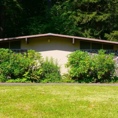
Photo: Finetooth, CC BY-SA 3.0, via Wikimedia Commons
🌤 Weather at Dyer State Wayside by season
| Spring | Summer | Fall | Winter |
|---|---|---|---|
| 31–67 °F | 47–84 °F | 31–75 °F | 25–44 °F |
Each range runs from the coldest monthly average low to the warmest monthly average high in that season (1991-2020 climate normals), measured at Condon, 8 mi away, elevation 2,881 ft. Conditions at the park can differ from the station, especially where elevation differs — check a forecast before you go.
🧺 Highway 19 Rest Stop — A rest stop of under one acre with picnic tables and restrooms on Oregon Route 19, about 9 miles south of Condon in Gilliam County
Dyer State Wayside is a small rest stop on Oregon Route 19 in Gilliam County, about 9 to 10 road miles south of Condon. The Oregon State Land Inventory lists the parcel at 0.55 acre, owned by the Oregon Parks and Recreation Department (OPRD). The federal Protected Areas Database (PAD-US) gives 1931 as its establishment year. A local birding guide describes a treed picnic area with restrooms on the left side of the highway as you drive south from Condon.
Wikipedia says the wayside sits in a narrow canyon on a fork of Thirty Mile Creek and is named for J. W. Dyer, who gave the land to the state in 1931. We could not confirm that history in an official source. OPRD has no visitor page for Dyer.
Visitor Information
| Detail | Information |
|---|---|
| Location | Oregon Route 19, about 9 to 10 miles south of Condon, Gilliam County, OR |
| Size | 0.55 acre (Oregon State Land Inventory) |
| Facilities | Picnic tables, restrooms |
| Established | 1931 (PAD-US) |
Frequently Asked Questions
Is Dyer State Wayside on Highway 22 near Detroit?
No. It is in north-central Oregon on Route 19 south of Condon. Descriptions of a Cascade forest stop on Highway 22 belong to a different place.
Keep exploring: Within Oregon, the closest neighbors are Cottonwood Canyon State Park (within about an hour’s drive) and White River Falls State Park (elsewhere in the state).
Sources: Oregon State Land Inventory; PAD-US (2012); U.S. Census geocoder; East Cascades Bird Alliance site guide; Wikipedia. As of October 2026.
🐾 Dogs & Pets at Dyer State Wayside
- Pets allowed? statewide rule
- Pets are welcome in Oregon state parks and on most ocean beaches but must be leashed except in designated off-leash areas.
- Leash rule statewide rule
- Leash no longer than 6 feet required in developed park areas
- Beaches & swim areas statewide rule
- Pets are allowed on most ocean beaches under direct control; western snowy plover nesting areas restrict pets March 15 - Sept. 15; leash required on the beach at some parks (e.g. Cape Lookout)
- Cabins & lodging statewide rule
- Designated pet-friendly yurts and cabins at many parks (South Beach has 14 pet-friendly yurts, Tugman 8); maximum two dogs and/or cats; $10 per night pet fee
- Pet fees statewide rule
- $10 per night for pet-friendly yurts/cabins; no pet fee for day use or campsites
- Statewide exceptions statewide rule
- Pets prohibited at Dabney SRA, the Trail of Ten Falls at Silver Falls, and Shore Acres; off-leash areas at Stub Stewart, Willamette Mission, Elijah Bristow, Cottonwood Canyon and LaPine
Are dogs allowed at Dyer State Wayside?
Pets are welcome in Oregon state parks and on most ocean beaches but must be leashed except in designated off-leash areas. Individual parks can post stricter rules — check signage on arrival.
Rules verified July 2026 via stateparks.oregon.gov. More: Oregon state parks guide · Dog rules in all 50 states compared
Park Map
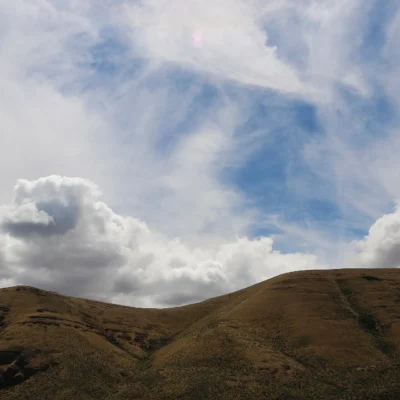
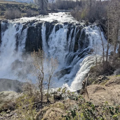
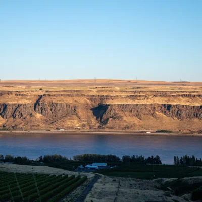
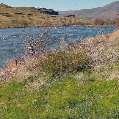
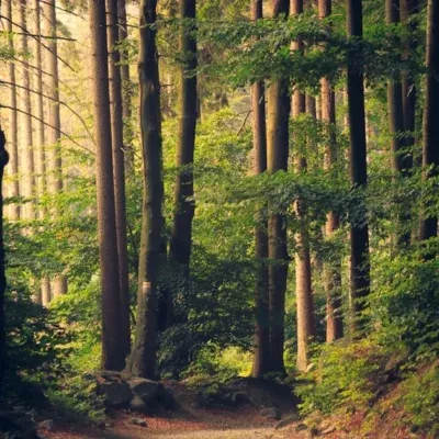
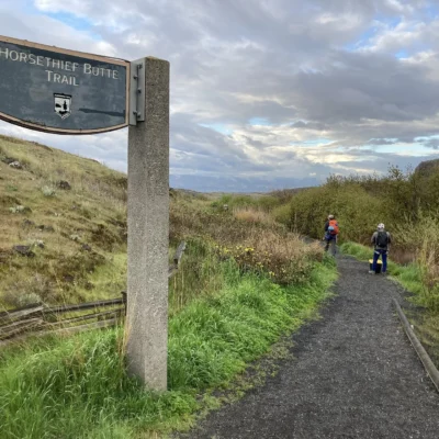
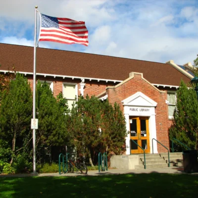
Photos of nearby places: authors and licences are listed on our photo credits pages.
Park photos: authors and licences are listed on our Oregon photo credits page.
Top Tours & Activities around Bend (about 90 mi away)
 from $160
 from $150
 from $120