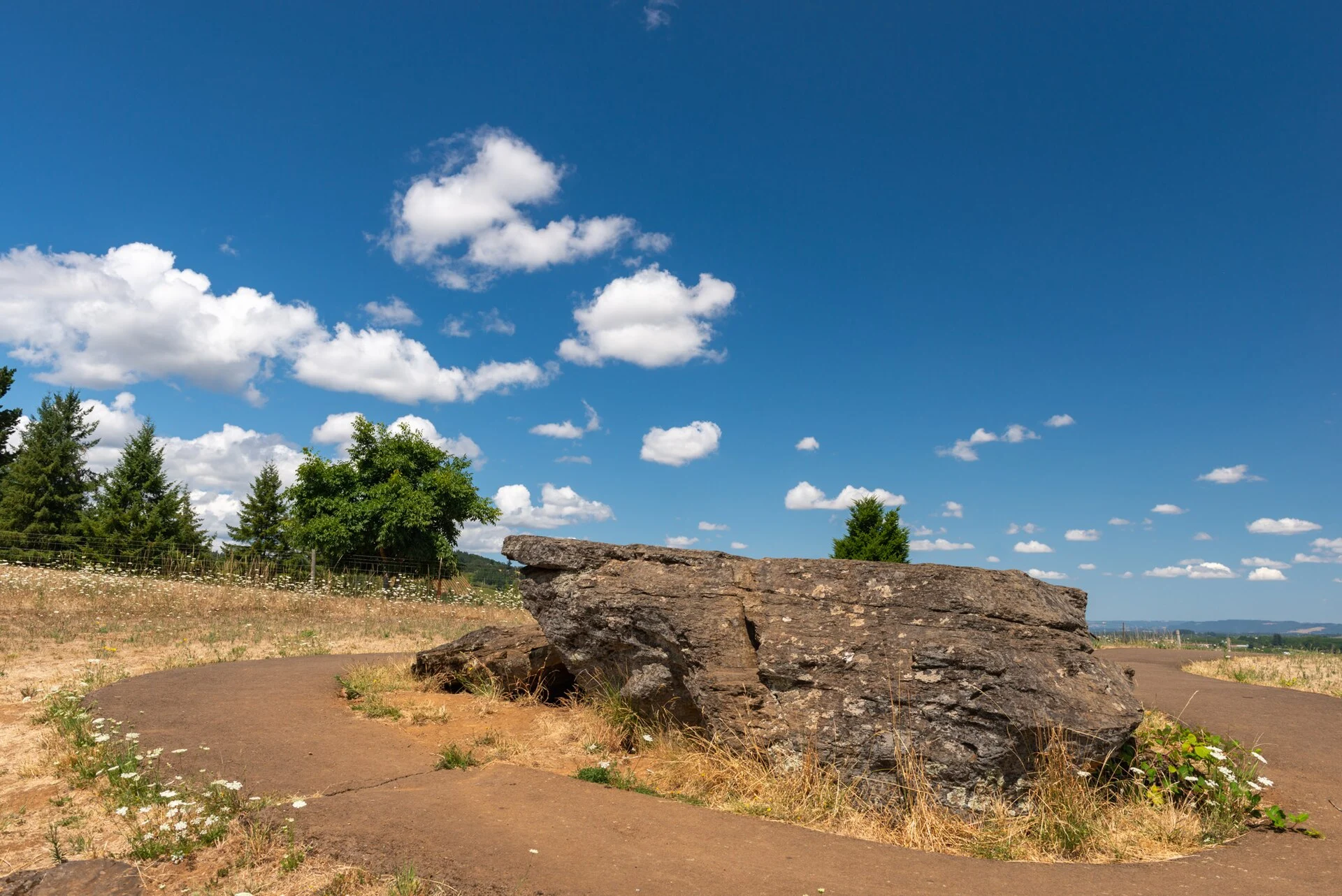
🏆🏆🏆🏆 Ice Age Evidence — A single enormous boulder carried 500 miles by Ice Age floods and dropped in the Willamette Valley
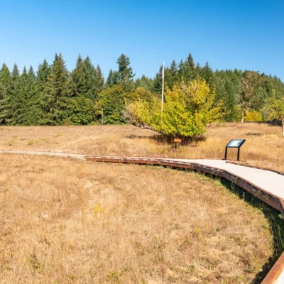
Erratic Rock State Natural Site preserves one of the most remarkable geological specimens in Oregon — a 40-ton argillite boulder that originated in Montana and was carried approximately 500 miles by the Missoula Floods during the last Ice Age (roughly 15,000 years ago). The boulder rode on an iceberg that floated through the catastrophic floodwaters that repeatedly filled the Willamette Valley to depths of 400 feet. When the iceberg melted, the rock was deposited on this hillside near Sheridan — geological proof of one of the most dramatic flood events in Earth’s history.
Visitor Information
| Detail | Information |
|---|---|
| Location | Near Sheridan, Yamhill County, OR |
| Entry Fee | Free |
| Boulder | 40-ton argillite from Montana! |
| History | Missoula Floods (~15,000 years ago) |
| Distance | Traveled ~500 miles on an iceberg |
Frequently Asked Questions
What were the Missoula Floods?
Between 15,000–13,000 years ago, glacial Lake Missoula in Montana repeatedly burst through its ice dam, releasing water volumes greater than all modern rivers on Earth combined. The floodwaters raced across Washington, carved the Columbia River Gorge, and filled the Willamette Valley. This boulder rode on one of those floods.
What were the Missoula Floods?
Between 15,000-13,000 years ago, an ice dam in Montana repeatedly formed and broke, releasing massive lakes across the Northwest. Each flood contained 10x the combined flow of all rivers on Earth. The floods carved the Columbia River Gorge, Dry Falls, and deposited boulders like this one across the Willamette Valley.
Insider Tips
Ice Age relic: This 40-ton boulder was carried from Montana by Missoula Floods — cataclysmic ice age floods that roared across the Pacific Northwest 15,000 years ago. Pro tip: The interpretive trail explains how a 2,000-foot-deep wall of water traveled 500 miles from Montana to the Willamette Valley. Geology nerd heaven: This is one of the best-interpreted glacial erratic sites in the US.
Best Time to Visit
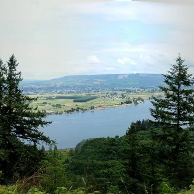
Year-round: The rock isn’t going anywhere. Spring: Wildflowers around the interpretive trail. Clear days: Views of the Cascades from the hilltop site — you can imagine the ancient floodwaters filling the valley below.
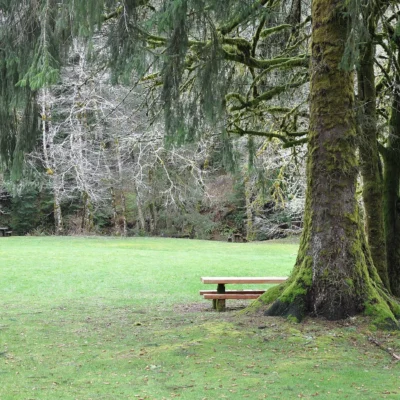
Wildlife & Nature
Erratic Rock State Natural Site preserves one of Oregon’s most extraordinary geological features — a 40-ton boulder deposited here by the Missoula Floods approximately 15,000 years ago. These catastrophic floods — the largest known freshwater floods in Earth’s history — occurred when ice dams on glacial Lake Missoula (in present-day Montana) repeatedly broke, sending walls of water 1,000+ feet deep racing across eastern Washington and funneling through the Columbia Gorge. The floodwaters carried icebergs embedded with rocks; when the icebergs melted, the rocks were deposited hundreds of miles from their origin. This “erratic” boulder originated in Montana or Idaho — geological proof of the flood’s astonishing power and reach.
Nearby Attractions
McMinnville — the heart of Oregon’s Willamette Valley Wine Country — has 700+ nearby wineries. Evergreen Aviation & Space Museum houses the Spruce Goose — Howard Hughes’ legendary wooden seaplane. Yamhill County wine estates produce world-class Pinot Noir. Carlton has become a tasting room destination. Champoeg State Park preserves the site of Oregon’s first government (1843). Linfield University in McMinnville has a beautiful campus. Third Street in McMinnville offers independent shops and restaurants.
More parks nearby: Sheridan State Scenic Corridor is a short drive away, while Fort Yamhill State Heritage Area lies a short drive away.
🪨 Visit Erratic Rock SNS
A 40-ton boulder from Montana — 500-mile Ice Age journey on an iceberg.