

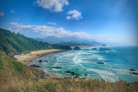
Photo: RickObst, CC BY-SA 4.0, via Wikimedia Commons
🌤 Weather at Cascadia County Park by season
| Spring | Summer | Fall | Winter |
|---|---|---|---|
| 34–65 °F | 46–80 °F | 35–74 °F | 33–50 °F |
Each range runs from the coldest monthly average low to the warmest monthly average high in that season (1991-2020 climate normals), measured at Cascadia, 1 mi away, elevation 960 ft. Conditions at the park can differ from the station, especially where elevation differs — check a forecast before you go.

Cascadia County Park, formerly Cascadia State Park, lies on US 20 about 14 miles east of Sweet Home, Oregon, along the South Santiam River. Linn County Parks & Recreation has owned and run it since September 2022, after operating it for Oregon State Parks from March 2019; it is no longer part of Oregon’s state park system.
Quick Facts
| State | Oregon |
| Former Name | Cascadia State Park |
| Operator | Linn County Parks & Recreation |
| Nearest City | Sweet Home |
Location & Getting There
Cascadia County Park lies on US 20, about 14 miles east of Sweet Home, Oregon. The park’s coordinates are 44.3982, -122.4729.
Explore More Oregon State Parks
Looking for state parks in Oregon? Discover them in our Best State Parks in Oregon guide, or use our Park Finder to search by activity, location, or features.
Wildlife & Nature
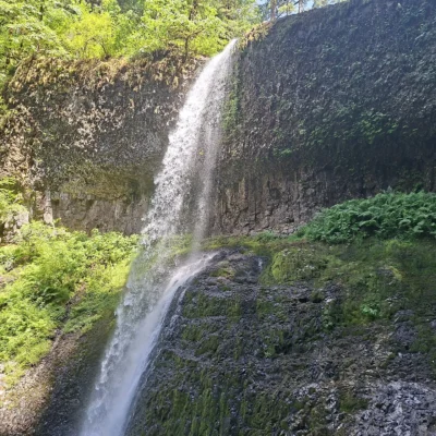
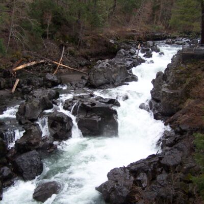
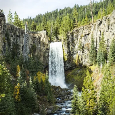
Cascadia sits at the confluence of the South Santiam River and Soda Creek — where natural soda springs bubble up through ancient volcanic rock. The park’s old-growth forest includes massive Douglas fir — Oregon’s state tree and the dominant timber species that built the Pacific Northwest economy. The South Santiam River supports wild populations of spring Chinook salmon, winter steelhead, and native cutthroat trout. American dippers (water ouzels) — remarkable songbirds that walk underwater on river bottoms to feed — bob on streamside rocks. Black bears forage in the understory. The Soda Creek Falls Trail leads to the falls (Oregon State Parks listed it at about three-quarters of a mile), and a second trail follows the South Santiam River past historic Douglas-fir trees.
Nearby Attractions
Santiam Pass (4,817 feet) crosses the Cascades to central Oregon via one of the most scenic mountain drives in the state. Hoodoo Ski Area and Big Lake provide winter and summer recreation. Mount Washington Wilderness offers alpine hiking with volcanic views. Clear Lake — one of Oregon’s clearest — preserves a submerged ancient forest visible through the glass-like water. Sweet Home provides gateway services to the Cascadia recreation corridor. Foster Reservoir offers warm-water recreation.
More parks in Oregon: North Santiam State Recreation Site and Detroit Lake State Recreation Area. See the full Oregon state parks guide.

Park Map
Plan your gear for Cascadia County Park
From our editorial guides, matched to this park’s activities:



Top Tours & Activities Near Eugene
 from $525
 from $20
 from $750