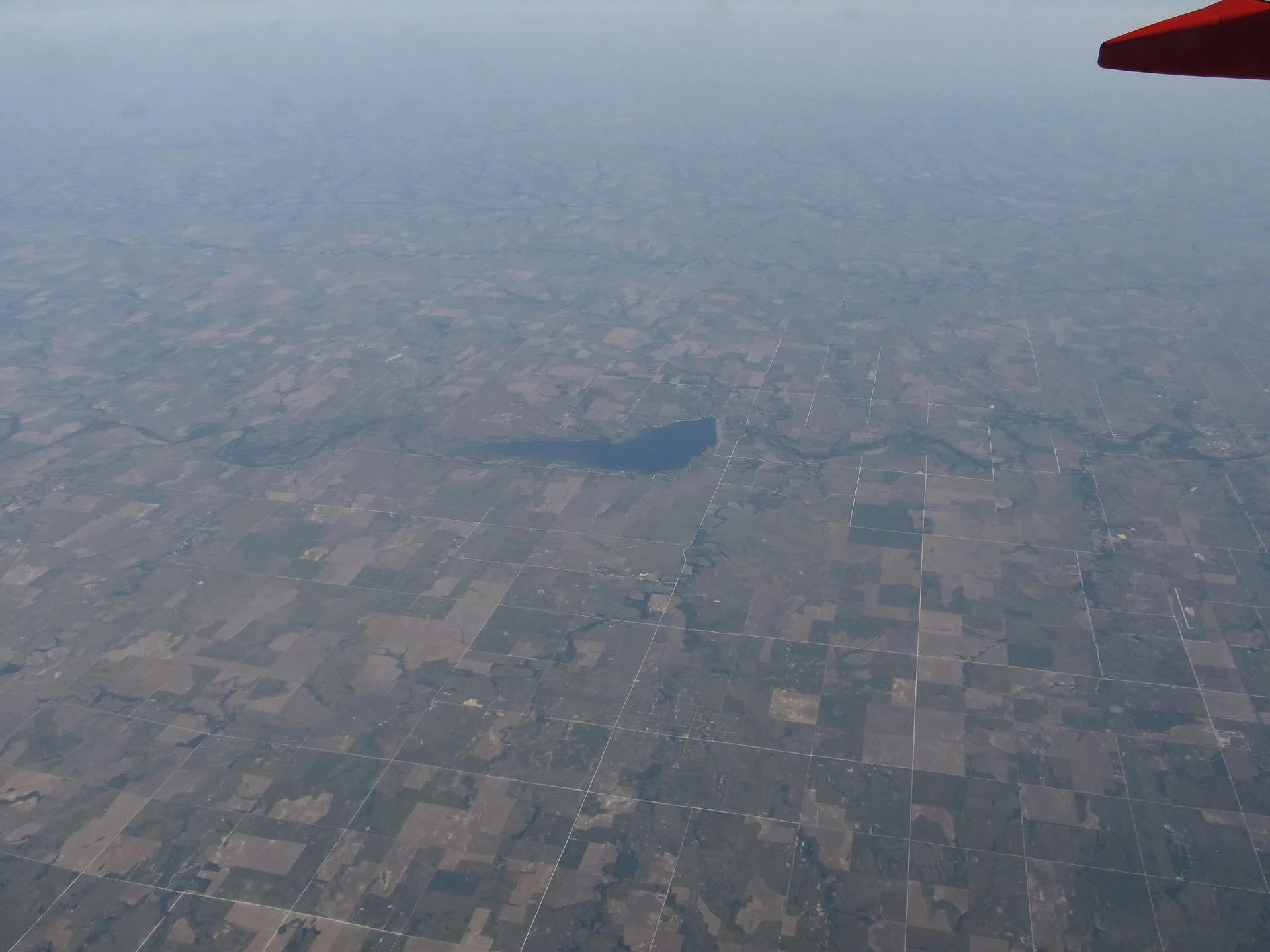
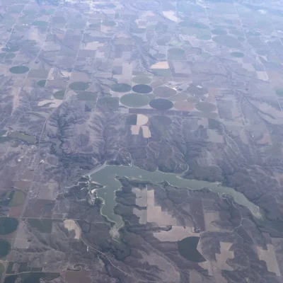
🏆🏆🏆🏆 Smoky Hills Reservoir — 3,780-acre Webster Reservoir on the South Fork Solomon River — one of the best walleye fisheries in western Kansas! The surrounding shortgrass prairie is home to pronghorn antelope, mule deer, and wild turkeys. The Smoky Hills region features distinctive chalk formations carved by wind and water.
Visitor Information
| Detail | Info |
|---|---|
| Location | Stockton, KS |
| Lake | 3,780-acre Webster Reservoir! |
About Webster
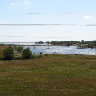
Webster State Park in Rooks County provides recreation on Webster Reservoir — a 3,780-acre lake on the South Fork Solomon River in northwestern Kansas. The reservoir was built in 1956 for irrigation and flood control in the arid High Plains, where annual rainfall drops below 22 inches. The park’s grasslands support a rich population of ring-necked pheasants, white-tailed deer, and wild turkeys.
Plan Your Visit
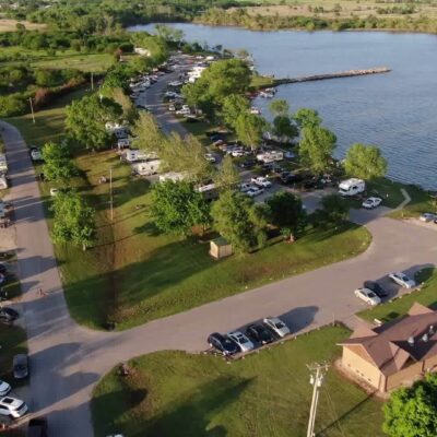
The park offers 111 campsites, boat ramps, swimming beach, and excellent walleye and wipers fishing. The surrounding Solomon River valley was the homeland of the Pawnee people before they were forced to Indian Territory in the 1870s. Norton (20 miles northwest) has the “They Also Ran” gallery — portraits of losing presidential candidates. Open year-round; summer weekends require reservations.
Nature & Wildlife
Webster Reservoir is one of the top walleye fisheries in western Kansas — the state stocks fingerlings annually. The reservoir also supports wipers (white bass x striped bass hybrid), channel catfish, and crappie. The surrounding High Plains grasslands provide habitat for ring-necked pheasants, mule deer, and coyotes. Migrating sandhill cranes pass through in October and March — flocks of 10,000+ birds follow the Solomon River valley corridor.
Insider Tips
Western Kansas: Webster sits in the semi-arid High Plains — where Kansas receives only 18-20 inches of rain annually. Pro tip: The Ogallala Aquifer underlies western Kansas — irrigation from this ancient water source transformed the region into one of the world’s most productive agricultural areas. Depletion: The Ogallala is being pumped faster than it recharges — threatening the entire agricultural economy.
Frequently Asked Questions
Is the Ogallala Aquifer running out?
The Ogallala Aquifer — one of the world’s largest underground water sources — took millions of years to fill but is being depleted in decades. In western Kansas, water levels have dropped 100+ feet in some areas. At current rates, significant portions will be exhausted within 25-50 years. The aquifer supports $20+ billion in annual agricultural production across 8 states. Its depletion threatens America’s breadbasket — and there is no replacement water source.
Make it a road trip: Pair a visit with Prairie Dog Town State Park (within about an hour’s drive) or Prairie Dog State Park (within about an hour’s drive).

Park Location


Top Tours & Activities Near Kansas
 from $49
 from $49
 from $20